

Tax & CAMA
Optimized efficiency through integrated solutions
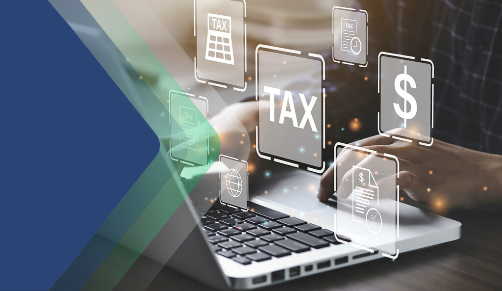
Catalis Tax & CAMA features the following products: LandNav,
GovTech Services, PCI, eGov, Patriot Properties, CAMAlot,
Northeast Revaluation, MarketDrive, and Axiomatic
Optimized efficiency
through integrated solutions
Catalis Tax & CAMA features the following products: LandNav, GovTech Services,
PCI, eGov, Patriot Properties, CAMAlot, Northeast Revaluation, MarketDrive, and Axiomatic
0
B+
in Taxes Collected
With Catalis Tax & CAMA solutions
0
States in Operation
With Catalis Tax & CAMA solutions
We're Here To Help
A Conversation with Steve Ashbacher, Executive Vice President Tax & CAMA Vertical
Play Video
CATALIS
Next Starts Now
Dynamic solutions enable local government offices to improve workflow efficiencies and reduce administrative burdens.
Catalis solutions combine powerful technology with responsive support to help your organization deliver with accuracy. Get a turnkey solution that can handle even the most complex tax and property workflows and transform your business.
Billing & Collections
Streamline your billing and collections process with a cloud-based solution. Our platform replaces the need for multiple vendors through billing, collections, cashiering, and more.
Escrow Payment Management
Simplify escrow payments with automated workflows, seamless refunds, and robust reporting. Reduce duplicate payments with software that ensures accuracy.
Computer Assisted Mass Appraisal (CAMA)
Deliver accurate and consistent property values for all-size jurisdictions. Leverage a comprehensive solution that prioritizes reliability and compliance.
GIS & Sketching Technology
Assess and evaluate properties with precision using configurable sketching technology. With our solutions, you can enhance your reporting capabilities and adapt them to fit your existing system.
Mass Appraisal Services
Assist jurisdictions in the assessment process with complete mass appraisal services including data verification and property valuation.
Property Tax Oversight
Our fully configurable suite of web applications gives administrators access to data that supports automated workflows and improved analytics to ensure fair and equitable taxation.
Learn more about the Catalis solutions that are modernizing governments across North America.